Travels with Ziggy
Sourhern San Rafael Swell - May 2026
Once back on I70 from Buckhorn Wash we headed straight to Green River. It was a pain pulling Waldo in very windy conditions. But once in Green River we set up camp at an RV park, right next to the State Park, for two nights. Decided we could use a full hook-up to clean out tanks. Next time we'll likely pick the State Park, nicer. All the normal stuff, washed clothes, bought food, took on water, dumped tanks, etc. Between The Wedge and Buckhorn the up/down crank on Waldo's passenger's window went kaput. We looked for some clear plastic to cover it at Ace (is the Place) but found nothing usable. So, Hugh spent the afternoon taking the door apart and fixing the jammed mechanism. Got it working better than ever, bonus. Rained a little while here but not unwelcome.
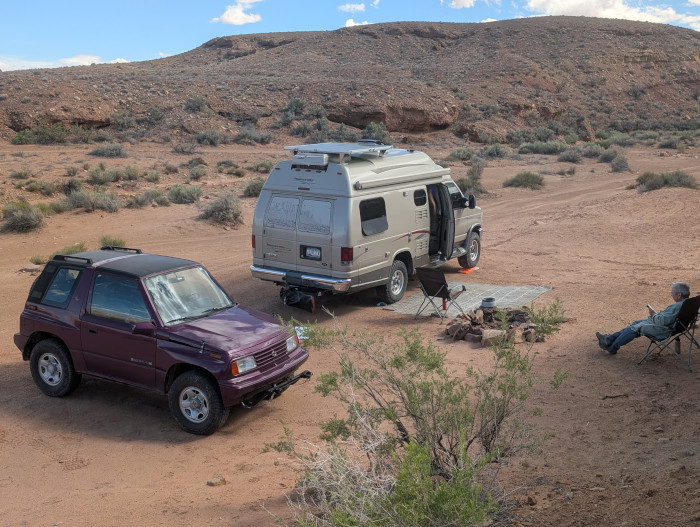
Out of Green River and ready for more adventure, we backtracked to the base of the San Rafael Swell. The goal was to drive Black Dragon Canyon. Found a great boondocking site as shown above.
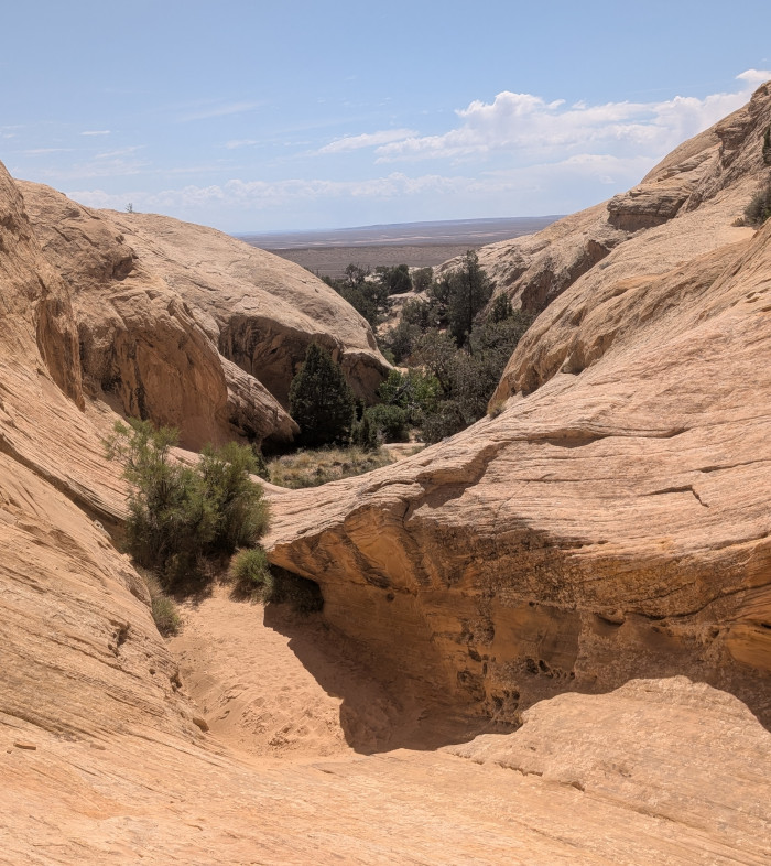
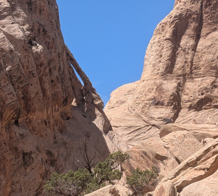
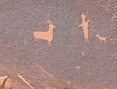
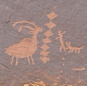
But before Black Dragon we hiked to Spirit Arch and Petroglyph Canyon. The thought of finding more petroglyphs sucked us in, and the trail head was only a mile or two from camp. We took a wrong turn on the trail which added about a mile to the hike. Only came away from the detour with one good pic.
 |
 |
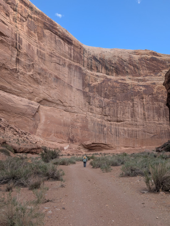
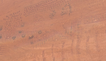
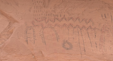
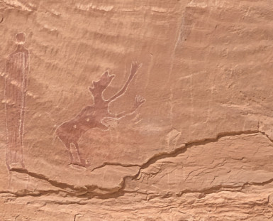
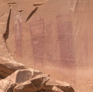
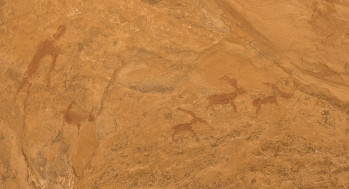
The next day off to traverse Black Dragon Canyon. At the head of the canyon is a famous set of pictrographs (Barrier Canyon culture) and petroglyphs (probably Fremont). The upper two below seem different than the second two, maybe different time periods? The canyon was named for a missinterpreted picrograph that looked like a dragon. It was later determined that the image was actually made up of several individual pictographs. But the name stuck.
 |
 |
 |
 |
Maybe a quarter mile up the canyon we spotted another petroglyph unlike any we'd seen before. Hugh thinks it's new and graffiti, Denise thinks it's likely from the Fremonts.
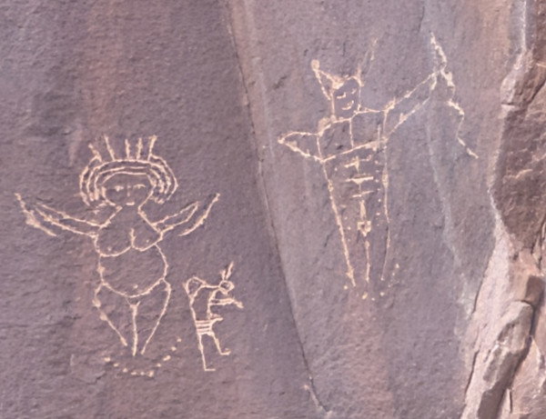
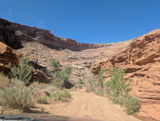
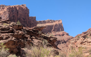
On up Black Dragon the road is sketchy in places. It was an easy jaunt for Waldo while Ziggy would likely have not made it. That's why we brought Waldo. It is quite a canyon and we had a beautiful day for it.
 |
 |
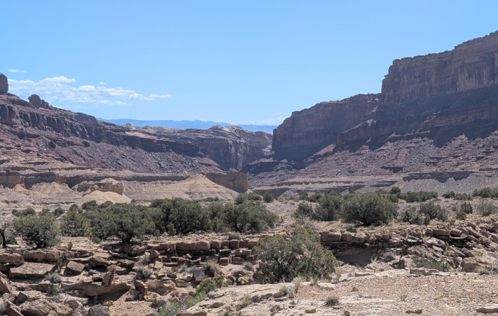
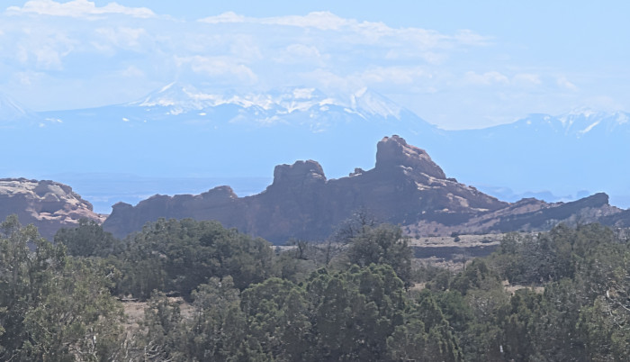
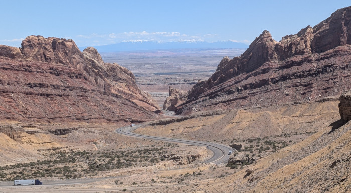
Below is a pic looking back to Black Dragon as we reached the upper end. A little further up the road we had a view to the east over the San Rafael Swell to some snow topped peaks in the distance. Possibly the La Sal Mountains? We had to travel some miles west to get on I70, just not many interchanges out here. Actually, backtracked to the interchange we used when exiting Buckhorn Wash. I70 uses Spotted Wolf Canyon to transit through the eastern San Rafael Swell, or what used to be Spotted Wolf. They did so much blasting it no longer resembles the canyon it was, still spectacular but way different. It parallels Black Dragon Canyon. The picture below is from the I70 overlooking Spotted Wolf Canyon.
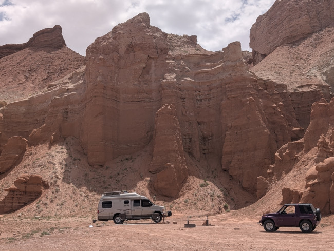
On to Goblin Valley, a Utah State Park. Last time we where here, on the way to Little Wild Horse Canyon, we passed some sandstone bluffs with people boondocking near them. Ever since we've wanted to come back for this camping. Well, it seems BLM gave land, including these bluffs, to Utah for Goblin Valley SP. All the camping is now dispersed camping with a fee. Not a large fee but still. We spent four nights here, nice camp.
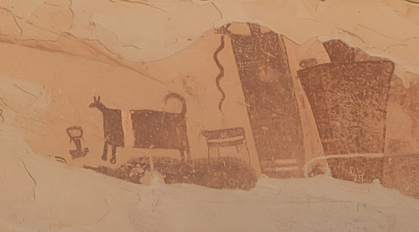
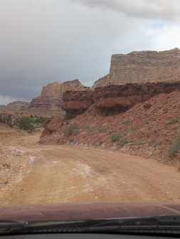
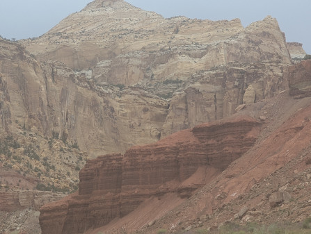
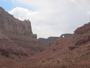
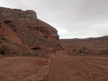
We've been to the Goblin formations before and didn't go this trip. If you haven't been there it's a must see in the area. Instead we did a drive and a hike. The drive was around the Red's Canyon loop which is on the west side of the reef and smack dab in the middle of the San Rafael Swell. This was a fabulous loop with Red's Canyon having scenery as good as anywhere we've been (and we've been everywhere man). One of the only roads to get behind the reef is Temple Mount Rd. which we took. There's another famous pictrograph panel, the Temple Mountain Pictrograph Panel. Most of the figures are pictographs from the Barrier Canyon Culture, but some petroglyphs from the Fremont. Also nice views of Temple Mount on the way to Red's Canyon.
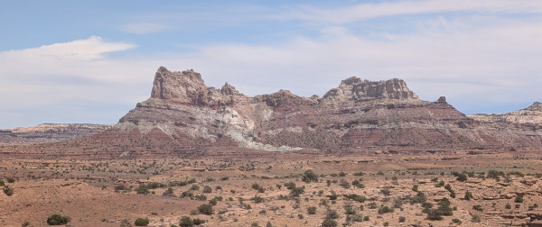
As above, Red's Canyon has some of the best scenery anywhere. Grand cliffs on all sides. The kind of scenery you can't capture in pictures (like the Grand Canyon). The road was quite good with no problems. But for one tight spot Ziggy could travel here. It was a full days travel and still a lot of side roads we'd like to explore next trip.
 |
 |
 |
 |
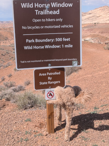
Rested a day then decided we needed a hike. Decided to try Bell Canyon which is right next to Little Wild Horse Canyon. There are many slot canyons here to choose from, but most have some "barrier" at some point, a cliff, a scramble, stacked bolders, etc. With us being old and Remy being a dog those are turn around points. Bell looked to have lower "barriers" than most so why not. I'll tell you why not, it was a weekend and the parking lot was overflowing. Not the wilderness experience we wanted. SO, we turned around and found Wild Horse Window Trail starting near the entrance to Goblin Valley SP. Not sure if Remy was commenting on "Patroled by State Rangers" or "No Camping" but he made a point. However, despite his rejection, we started off with gusto.
 |
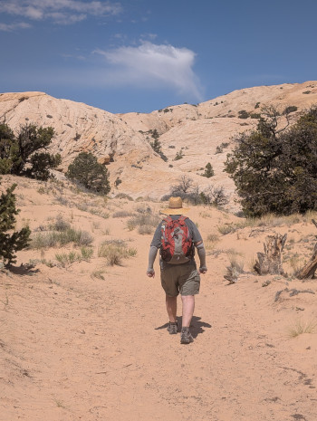 |
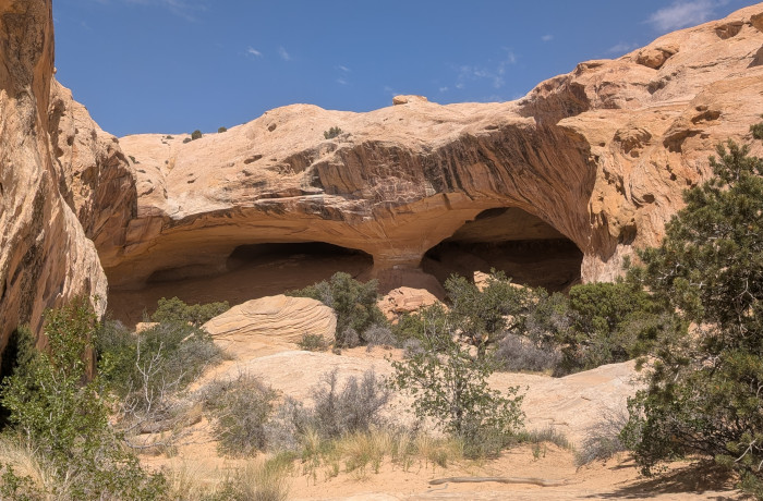
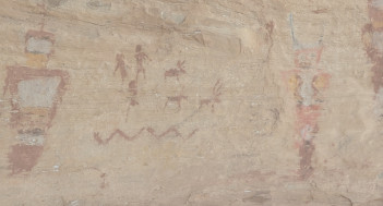
It was a hot day and the trail was about a mile in, very much up hill. We were lucky that there were few people on the trail in. On the way out we met probably two dozen hikers. Good timing. The "window" is a hidden sandstone cave, quite a site. And, you guessed it, there were pictrographs covering most of the cave walls. Well again a mix of pictrographs and petroglyphs. Well worth the hike.
 |
 |
Finally a picture taken from the cave back the way we came up. Great hike, well worth the effort.